Bushfire, flooding and wind in Gables NSW
Some Gables lots near the bushland edge may be mapped as bush fire prone land, and the precinct drains towards Cattai and Cataract Creeks. Both can affect how a house is built, from window and roof detailing under a bushfire attack level to finished floor heights near a watercourse. Wind classification under AS 4055 also sets bracing and tie downs. Each of these is decided lot by lot, so check your planning certificate and engineering rather than a suburb summary.




Bush fire prone land
Lots near bushland may carry a bush fire prone land mapping and a bushfire attack level that sets construction requirements. Your planning certificate will say.
Creeks and drainage
Drainage lines in the precinct run to Cattai and Cataract Creeks. Finished floor levels and stormwater design take that into account.
Wind classification
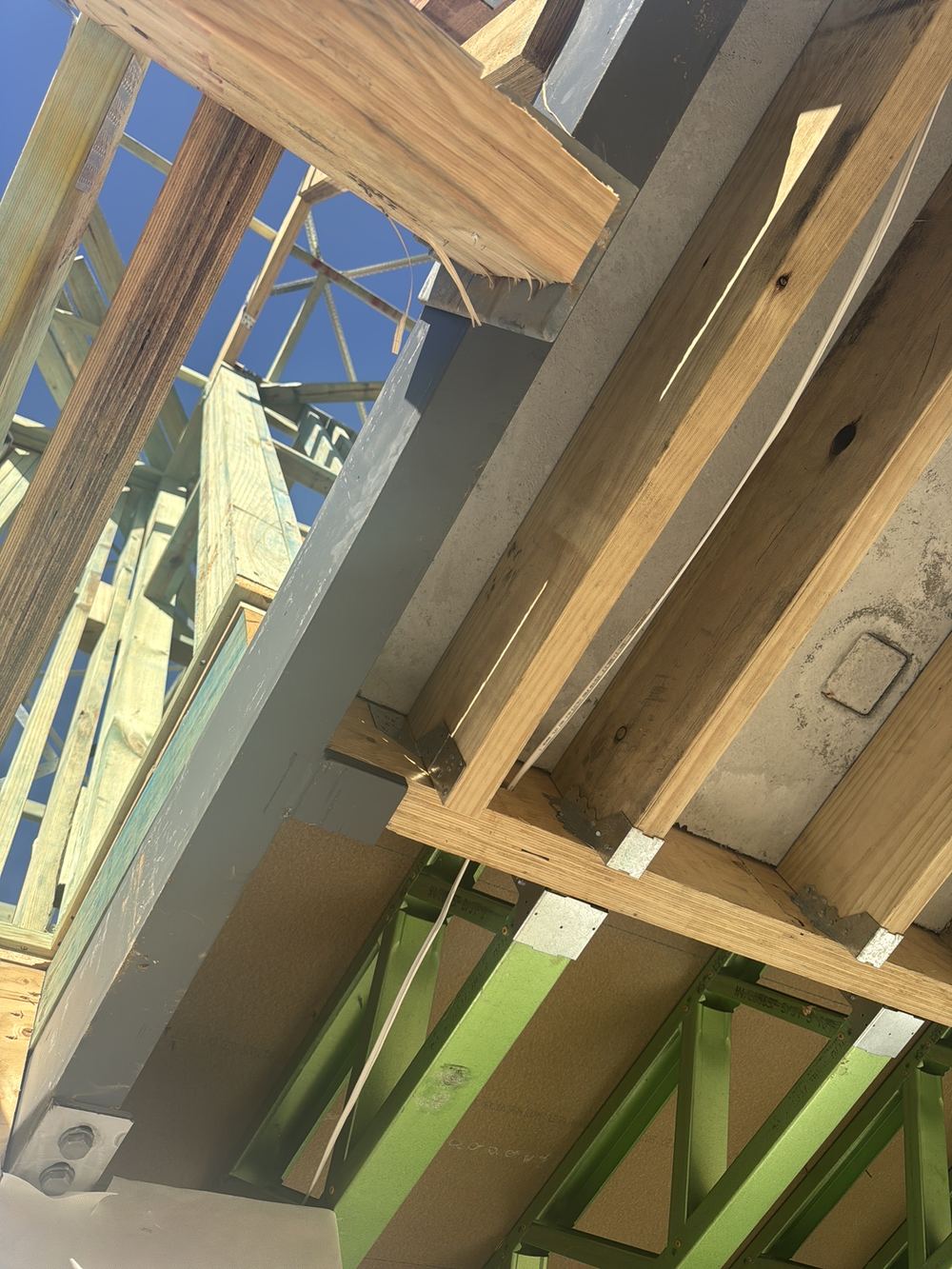
AS 4055 wind class appears on your engineering and drives bracing and tie down requirements, which we check at frame.
Climate
Hot summers and heavy storms test roof drainage. Box gutters and cappings need correct size and fall.
Check your own lot
Overlays and classes are lot specific. The planning certificate and engineering are the documents to read.
More about Gables
- Building a new home in Gables NSW
- Buying a home in Gables NSW
- Growth and development in Gables NSW
- Certifiers, council and building disputes in Gables NSW
- Ground conditions and slabs in Gables NSW
- Termite risk in Gables NSW
- Common building defects in Gables NSW
Written by our local inspection team from work carried out in Gables. Licensed building practitioners, NSW Fair Trading licence 366177C.